geospatial

(12) 3456 7890

info@geospatial.com

Services

REMOTE SENSING

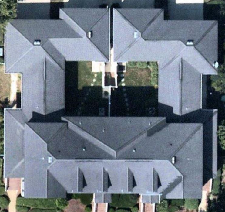
We Offers a huge variety of services to use of remote sensing and best techniques. Our group extracts meaningful records from different forms of Imagery to provide offerings in line with the user requirement.
• Telecom
• Environmental (supporting impact assessment)
• Mapping
• Forestry
• Agriculture
• Livelihood Development
• Modelling data product
• Value added services

LiDAR

555geospatialsolution has revel in, in processing lots of electrical transmission and distribution line miles for customers. We are skilled in processing airborne, cell and terrestrial-based LiDAR information. Our talents consist of: 

• Processing
• Point Cloud
• Bare Earth
• Feature Extraction (planimetrics, land cover, volumes)
• Breakline supplementation and cross sections
• LiDAR grammetry
• Contours (ASPRS, NMAS, NSSDA)
• Digital Surface Model, Digital Terrain Model, Digital Elevation Model
• obstruction clearance models
• 3D visualizations & fly-throughs

OUR EXPERTISE INCLUDES

• Urban Mapping Solutions
• Utility Information Systems
• Land Information Services
• Topographic Mapping and Surface Modeling
• Land Cadastral Mapping
• Forestry Mapping
• Geological Mapping
• Data Conversion (scan, digitize, attribute)
• Application Development
• Implementation
• System Design
• Data Analysis and interpretation
• Vector Conflation
• Vector Alignment
• Database Design
• CAD/GIS translation

Quality Service

Our experience and expertise will help you to define your desires and to achieve your objectives.